植生指数 (VGI)
[DOI: 10.57746/EO.01gs73b3y17efdvmj1ajftbfr2]
概要
| NDVI, EVI | 定義 | 植生の被覆や活性などを示す指数:NDVIとEVI |
| 単位 | 無次元 | |
| ATBD |
Ver.1 (Nov. 2018) |
|
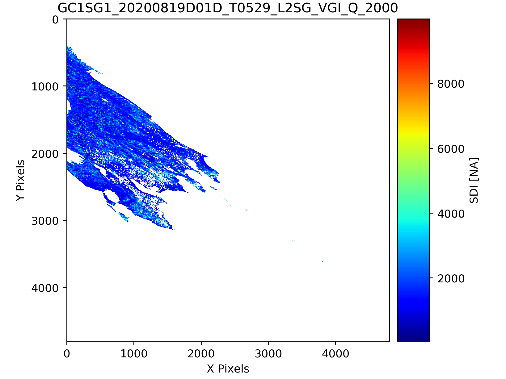
| SDI | 定義 | スペクトル情報を用いた植生の陰影の割合を示す指数 |
| 単位 | 無次元 | |
| ATBD |
Ver.1 (Sep. 2014) Ver.2 (May 2020) Ver.3 (Oct. 2021) |
Ver2での変更点
- ・カゲ指数計算のパラメータ修正
- ・QAフラグ変更
Ver3での変更点
- ・斜面法線からの太陽入射角余弦[Cosine_of_solar_incidence]をGeometry_dataに追加
- ・SDI計算パラメータ、計算条件変更
- ・QA_flag変更
サンプル画像
| ファイル形式 | Ver.1 | Ver.2 | Ver.3 |
|---|---|---|---|
| hdf5 |
TBU |
VGI_Q(250m) |
VGI_Q(250m) |
| Image |
TBU |
EVI(250m) NDVI(250m) SDI(250m) |
EVI(250m) NDVI(250m) SDI(250m) |
格納物理量
| Ver.1,2,3 | Description |
|---|---|
| EVI | Enhanced Vegetation Index |
| NDVI | Normalized Difference Vegetation Index |
| QA_flag | |
| SDI | Shadow Index |
QA_flag情報
Ver.1 Ver.2 Ver.3 Ver.1(Sample Image) Ver.2(Sample Image) Ver.3(Sample Image)
| Bit | Data name | Description | EVI_L3_mask* | NDVI_L3_mask* | SDI_L3_mask* |
|---|---|---|---|---|---|
| 0 | no data | 1: VN08 and/or VN11 are error | 1 | 1 | 1 |
| 1 | land/water | 0: water >50%, 1: land > 50% | 0 | 0 | 0 |
| 2 | mixed with land/water | 1: land and water > 1% | 0 | 0 | 0 |
| 3 | cloud | 1: cloud | 1 | 1 | 1 |
| 4 | probably cloud | 1: probably cloud | 0 | 0 | 0 |
| 5 | snow or ice | 1: snow or ice | 0 | 0 | 0 |
| 6 | no data for EVI | 1: no data for EVI | 0 | 0 | 0 |
| 7 | no data for SDI | 1: no data for SDI | 0 | 0 | 1 |
| 8 | bad input for SW | 1: bad input for SW | 0 | 0 | 1 |
| 9 | bad input for VN | 1: bad input for VN | 1 | 0 | 0 |
| 10 | solar zenith angle >70 | 1: sza > 70° | 1 | 1 | 0 |
| 11 | sensor zenith angle >45 | 1: vza > 45° | 0 | 0 | 0 |
| 12 | EVI <-0.2 or EVI >1.0 | 1: EVI < -0.2 or 1.0 < EVI | 1 | 0 | 0 |
| 13 | large incident angle | 1: cos(incident angle) < 0.1 | 0 | 0 | 0 |
| 14 | small NDVI | 1: NDVI < 0.65 | 0 | 0 | 0 |
| 15 | anti solar side | 1: anti solar side | 0 | 0 | 0 |
* 1は統計処理時にマスクされるBitを意味します。
QA_flagについてはこちらをご参照ください。
| Bit | Data name | Description | EVI_L3_mask* | NDVI_L3_mask* | SDI_L3_mask* |
|---|---|---|---|---|---|
| 0 | no data | 1: VN08 and/or VN11 are error | 1 | 1 | 1 |
| 1 | land/water | 0: water >50%, 1: land > 50% | 0 | 0 | 0 |
| 2 | mixed with land/water | 1: land and water > 1% | 0 | 0 | 0 |
| 3 | cloud | 1: cloud | 1 | 1 | 1 |
| 4 | probably cloud | 1: probably cloud | 0 | 0 | 0 |
| 5 | snow or ice | 1: snow or ice | 0 | 0 | 0 |
| 6 | shadow | 1: shadow | 1 | 1 | 0 |
| 7 | bad input for NDVI | 1: bad input for NDVI | 0 | 1 | 0 |
| 8 | bad input for SDI | 1: bad input for SDI | 0 | 0 | 1 |
| 9 | bad input for EVI | 1: bad input for EVI | 1 | 0 | 0 |
| 10 | solar zenith angle >70 | 1: sza > 70° | 1 | 1 | 0 |
| 11 | sensor zenith angle >30 | 1: vza > 30° | 0 | 0 | 0 |
| 12 | EVI <-0.2 or EVI >1.0 | 1: EVI < -0.2 or 1.0 < EVI | 1 | 0 | 0 |
| 13 | large incident angle | 1: cos(incident angle) < 0.1 | 0 | 0 | 0 |
| 14 | small NDVI | 1: NDVI < 0.75 | 0 | 0 | 0 |
| 15 | anti solar side | 1: anti solar side | 0 | 0 | 0 |
* 1は統計処理時にマスクされるBitを意味します。
QA_flagについてはこちらをご参照ください。
*Download:QA_flag(Ver1)


Attribute情報
使い方
- ・物理量=DN*slope+offset
- ・有効値はMinimum_valid_DN~Maximum_valid_DN
- ・SDI(Shadow Index)は、0-1の範囲の指数として用いる場合は、上記のslopeとoffsetを適用した値に0.0001をかけて使用してください